What is the potential for geothermal energy on the Isle of Man? Download pdf
Is the possibility of offshore gas an economic windfall for the Isle of Man? Download pdf
The results of the questionnaire at UCM Talk “How might the Isle of Man be Carbon Neutral?” by Dave Quirk on 15 January 2020 are now available. Click here…
Popular Manx geology map reprinted Link…
What did the Isle of Man look like hundreds of millions of years ago? It has certainly not always been the shape it is today. Over 500 million years, the Island has been assembled like a giant 3D jigsaw puzzle from different pieces of continents, broken apart again by earthquakes and intruded by molten rock. Click here to see the Island form in a series of animations with audio commentary.
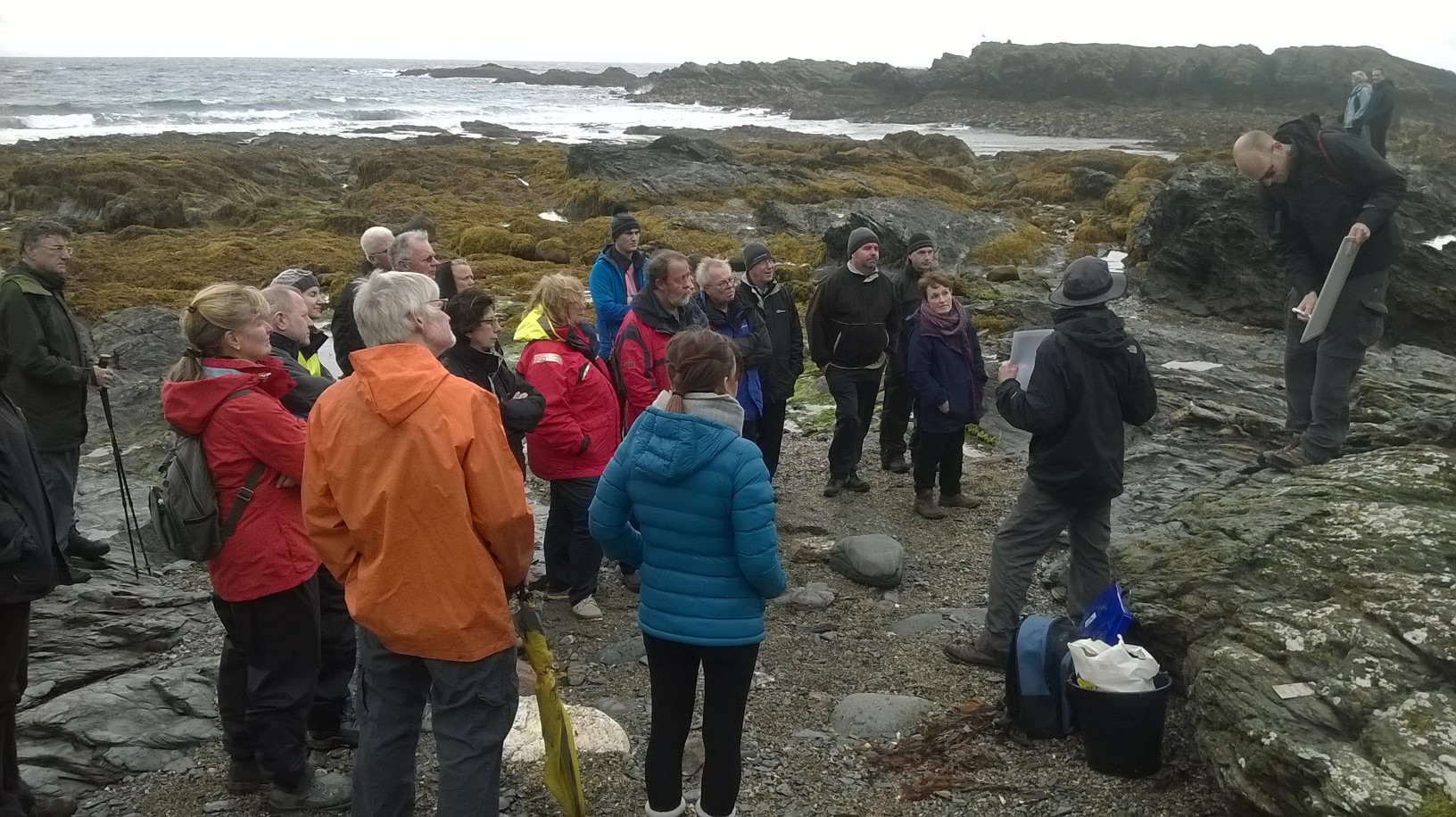 |
MGS Events The Manx Geological Survey recently took part in the Isle of Man Heritage Open Days events, run by Manx National Heritage. The MGS ran a geological field tour for members of the public at Niarbyl, Dalby. More… |
 |
MGS Events Members of the Manx Geological Survey have performed geological experiments for the young antiquarians of the Isle of Man Natural History and Antiquarian Society. More… |
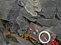 |
Geology photographs depicting Folds and Faults; Sedimentary Rock and Structures; Fossils and Igneous Rocks. Click here to view. |
Manx Group Fossils Subtle variations in fossil shapes due to the effects of evolution have been crucial in telling us the age of the Manx Group. More…
G.W. Lamplugh produced some of the most important geological research on the Isle of Man. Working between 1892 and 1897, he made the first official geological map of the Island.More…
 |
The Manx Geological Survey was registered as a charity in July 2000 and established to promote education and research on Manx geology. This website is intended to provide information on the rocks of the Isle of Man for the non-specialist and publicise the results of new scientific research. The geology of the Isle of Man provides a fascinating insight into 500 million years of Earth’s history. The Island is only a small remnant of a once mighty mountain range formed when the continents of Europe and North America collided. Prior to that the area lay in an ocean thousands of kilometres south of the equator at a water depth of several hundred metres. Over time the area drifted northwards experiencing as it went huge variations in sea level and climate such that at one time desert conditions prevailed whilst at another it was part of a shallow tropical sea. On the way to becoming the Manx landscape we recognise today, it has been split by earthquakes, ignited by volcanoes, smothered by ice and exploited by man. |